
Version Information
- Version
- 1.1
- Release date
- Aug 8, 2026
- Size
- 52.4 MB
- File type
- APK
- Package
- com.camgps.gpslivecamera
- Developer
- Pixin
About GPS Camera: Map & Location
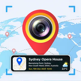
GPS Camera: Map & Location is a photography app from Pixin that pairs your camera with geographic context. It sits in the photography category and aims to make every shot carry information about where it was taken, rather than being just an image with no attached place data. Version 1.1 is the current release. Where Photography Meets Positioning As a photography tool, the app is built around the idea of capturing a picture and tying it to a location at the same moment. Instead of handling the camera and a map as separate tasks, it brings them into a single workflow, so the place information becomes part of the photograph itself as you shoot. Working With Maps Alongside Your Shots The title points to map functionality living beside the camera, letting you see geographic context while framing an image. This combination suits anyone who wants to keep track of where a photo belongs, whether they are documenting a trip, a site visit, or an outdoor moment, without needing a separate mapping step afterwards. A Package Sized For Everyday Devices The app package is 52.4 MB, a moderate footprint that leaves room for camera and map behaviour while staying practical for regular installs. This listing does not state a required Android version, so compatibility should be confirmed against your own device before you install the build. Release Details And Category Placement The latest build is version 1.1, published on 2026-08-08. It is filed under the photography category and credited to the developer Pixin. Content rating information is not provided here, so there is nothing further to report on that front for the current release.